Took the 0930hrs bus nr 2 on 19 May to the picturesque old town of Agulo on the north coast of La Gomera. From here we set off on Rother's Walking Guide route nr 42 - a circular route from Agulo to the Garajonay National Park visitor's centre , Juego de Bolas. Some claim this is the most spectacular of all the hikes on La Gomera. The route follows an old track to the top of the 500 meter high almost vertical cliffs which form a natural amphitheatre behind the town.
Looking at these cliffs as we walked to the start of the hike, we were somewhat puzzled as to where the route might go.
 Signpost at start of hike
 The track went steeply straight up stone steps between the terraces until the base of the cliff was reached. Then it zig-zagged upwards, clutching the side of the rock, all the time giving superb views of the town below
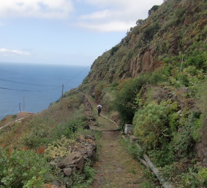
 Looking up, it often looked unlikely that a track was possible
 The effort that must have been put into constructing and maintaining such a path over the generations must have been enormous.
 At times we crossed plastic pipes used to carry water, from reservoirs above, to irrigate the terraces
 At 450 meter above sea level we reached the Mirador de Agulo, a balconied horizontal terrace with an amazing view. Unfortunately the visibility was not too good - usually Mt Teide on Tenerife is clearly visible.

 Jeannette takes a break in a small cave on the terrace.
 Shortly after the Mirador we reached the hanging valley and became engulfed in cloud. The dam of a water reservoir was just visible visible.
 Much farming was evident on terraces in the hanging valley
 By luchtime, we reached the Ermita San Isidro in the village of Palmita at an altitude of 700 metres.
 About 30 minutes later we arrived at the Garajonay National Park visitor's centre , Juego de Bolas, 750 meters above sea level and our halfway point.
Scale 3D Model of La Gomera

From a lookout point above the centre, one had a good view of the surrounding farmland
 Some of the trees were the Heather tree - which indeed looks like its name suggests but is actually a tree.
 The route back to Agulo was less of an adreneline kick than the ascent, but still had some suberb views.


 The track crossed the main road just before the road disappeared into a tunnel. Our track followed the pre-tunnel route around the spur.
 We passed several terraces where vines were being grown - many had been dusted with sulphur - probably as a measure against powdery mildew.
 and finally the track rounded the spur and the town of Agulo came back into view
 The slopes between the town and the sea are, where possible, used for growing bananas
 After wandering through the picturesque streets
 we were back at the bus stop where we had started, in good time for the 1700hrs return bus.
1 comment:
Wat hebben we weer genoten van jullie blog en prachtige foto's ,werkelijk geweldig.Het is een voorrecht zo met jullie mee te mogen genieten.Mijn rug gaat langzamerhand wat beter dus wie weet?
Groetjes Loes en Gerard
Post a Comment