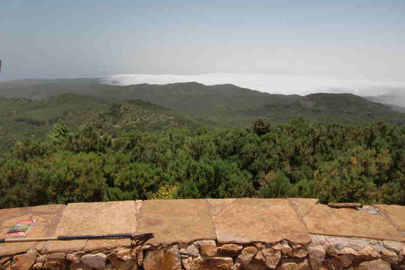
Caught the 0800 hrs line 1 bus from Vueltas and by 0845 hrs were close to Las Creces (1055 meters above sea level) in the Laurelsilva forest of the National Park, the start of our hike to Vallehermoso (186 m), part of route 24 in our Rother's Walking Guide.
 Unfortunately we were in the cloud - fairly chilly, poor visibilty and drizzling - a great start. The walk took us downhill through the ancient forest of Laurels and Heather trees festooned with Spanish Moss.
 After a while our descent brought us below the cloud level opening up views of the surrounding hills and valleys


Reached a split in the path


 In the distance to the left of the photo, our destination Vallehermoso comes into view.


 The terraces of Vallehermoso - most of them are still cultivated.


 By 1200hrs we reached the centre of Vallehermoso

 Originally we had planned to walk back up to Las Creses via Epina via Rother's route 38. However, this would have meant a very long day complicated by a not so convenient bus schedule.
 So we chickened out and visited the small park which is dominated by some bizarre concret sculptures - somewhat incongruous in this small old country town
 Had a picnic lunch between the "Mother & Father "figures while waiting for the 1400hrs Line 4 bus which would take us back to more or less where we started where we could catch the Line 1 bus back to Valle Gran Rey.
 The plan nearly went wrong as we decided to walk towards Valle Gran Rey while waiting for the Line 1 bus. When the bus came, the bus nearly refused to stop as we were not at an "official " bus stop. Luckily the driver took pity on us ignorant tourists.
Bus stops on La Gomera are in general a weird concept - the buses in principle will only stop at an official stop - however, there are no bus stop signs to indicate where the stop is - one just has to know!
 Unfortunately we were in the cloud - fairly chilly, poor visibilty and drizzling - a great start. The walk took us downhill through the ancient forest of Laurels and Heather trees festooned with Spanish Moss.
 After a while our descent brought us below the cloud level opening up views of the surrounding hills and valleys


Reached a split in the path


 In the distance to the left of the photo, our destination Vallehermoso comes into view.


 The terraces of Vallehermoso - most of them are still cultivated.

 By 1200hrs we reached the centre of Vallehermoso
 Originally we had planned to walk back up to Las Creses via Epina via Rother's route 38. However, this would have meant a very long day complicated by a not so convenient bus schedule.
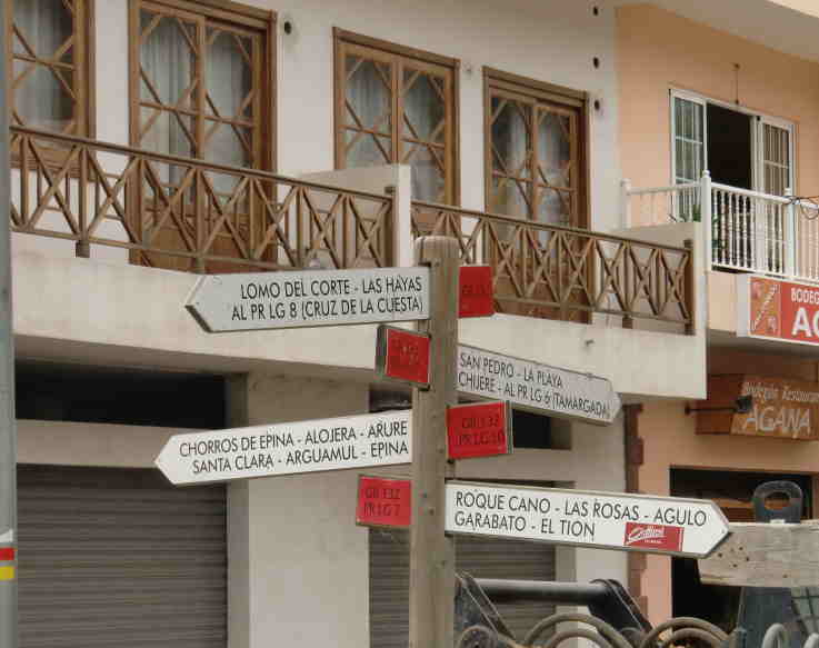 So we chickened out and visited the small park which is dominated by some bizarre concret sculptures - somewhat incongruous in this small old country town
 Had a picnic lunch between the "Mother & Father "figures while waiting for the 1400hrs Line 4 bus which would take us back to more or less where we started where we could catch the Line 1 bus back to Valle Gran Rey.
 The plan nearly went wrong as we decided to walk towards Valle Gran Rey while waiting for the Line 1 bus. When the bus came, the bus nearly refused to stop as we were not at an "official " bus stop. Luckily the driver took pity on us ignorant tourists.
Bus stops on La Gomera are in general a weird concept - the buses in principle will only stop at an official stop - however, there are no bus stop signs to indicate where the stop is - one just has to know!